Tool

ArcGIS Online
Esri’s cloud GIS for maps, apps, and organizational data
About
ArcGIS Online is a web-based GIS powering mapping, analytics, data management, and collaboration. It runs in the cloud and is accessed via the internet, allowing users to work with geographic data from anywhere, on any device.
It is designed to connect users with geographic data and insights through cloud infrastructure, enabled by the underlying architecture of ArcGIS and delivered as software as a service (SaaS). ArcGIS Online provides the backbone for running a broad set of web-based ArcGIS applications and configurable solutions without the need to deploy or manage GIS infrastructure.
ArcGIS Online is integrated with ArcGIS Pro for mapping and authoring and connects with ArcGIS Enterprise to share content between systems. Collaboration and accessibility are central to ArcGIS Online, allowing you to organize and share your work with others on any device, anywhere, at any time.
ArcGIS Online is hosted in Esri-managed cloud infrastructure and is accessed through a web browser. It eliminates the need to deploy or maintain GIS servers while providing scalable performance, built-in updates, and high availability. ArcGIS Online supports organizations of all sizes by securely hosting maps, data, and applications in the cloud in the following ways:
Features
- Fully managed software as a service (SaaS)
- Cloud-hosted data and web layers that scale automatically
- Access across desktop, web and mobile devices
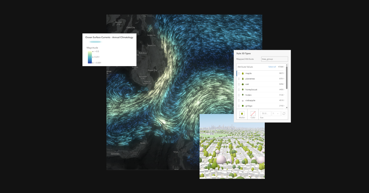
- Create interactive 2D maps and 3D scenes
- Visualize and explore geographic data
- Perform spatial analysis and answer location-based questions
- Pricing
- Paid
- Pricing detail
- Named-user cloud licenses
- Platforms
- Web
Alternatives from our catalog
Tools on the same shelves as ArcGIS Online, ordered by shared tags and our own comparisons. Not vendor endorsements.
- CARTOPaid · Web + Warehouse
Spatial SQL analytics for Snowflake/BigQuery teams
same tags
- OpenLayersOpen Source · Web / JS
Gov/enterprise choice when Leaflet is too small
same tags
- QGISOpen Source · Desktop
Open desktop GIS everyone learns first
same tags
- MapboxUsage-based · Web + Mobile SDKs
Still the commercial default for custom map UX
same tags
- MapLibre GL JSOpen Source · Web / JS
Default open vector-map engine in 2026 stacks
same tags
- LeafletOpen Source · Web / JS
Simplest classic library for tile maps and markers
same tags